What are the maps showing?
The goal for which these maps were conceived was to elaborate a visual representation of the routes taken by the expeditionaries based on the accounts the manuscripts left of them. Thus, each stop has, as much as possible, of course, a small fragment which mentions the city (or cities) shown on the maps. Along with the small passages, dates of arrival and departure of each city are provided when recorded.
The information provided does not account for the full events that took place in each city. Instead, the attempt here was to showcase the evolution of the expedition in terms of time. Therefore, the aim of the quotes is to provide proof, from a primary source when possible, of the time period in which the city was visited.
About the sources
The sources used for the elaboration of this map, as well as others on this website, come mainly from the transcriptions of the Indiferente 1558A, also stored here; the folios of the quotes are always indicated. Another primary source mentioned is the file of Manuel Julián Grajales, stored in the Militar Archives of Segovia. The non-primary sources used are Lastres (1954), Historia de la viruela en el Perú; and Ramírez Martín (1999), La Real Expedición Filantrópica de la Vacuna en la Real Audiencia de Quito.
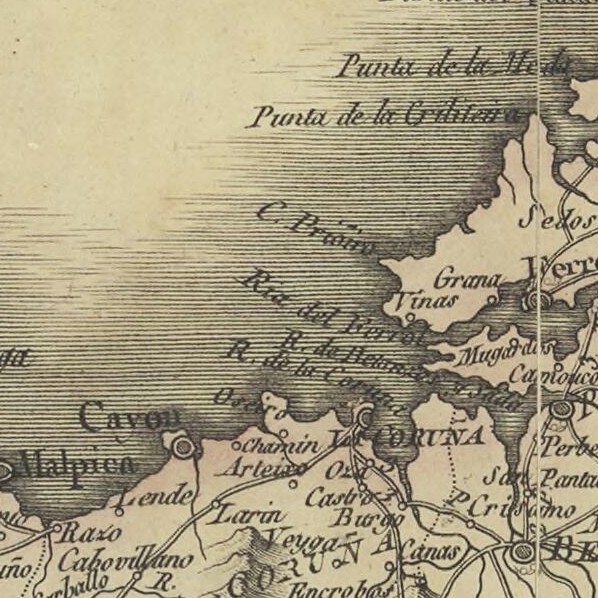
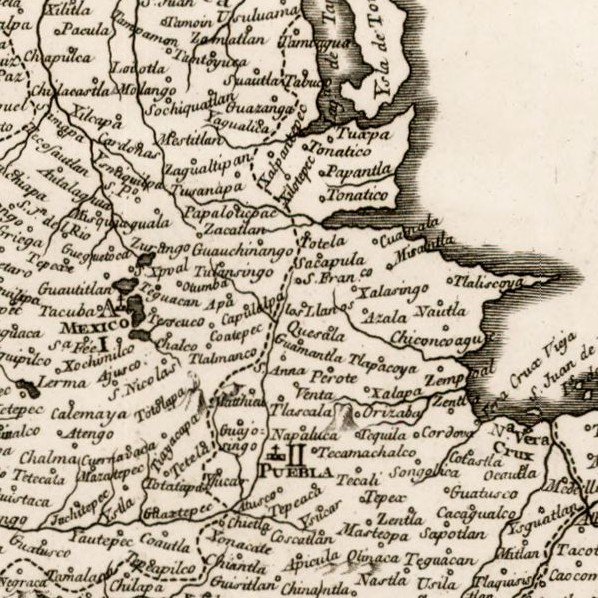
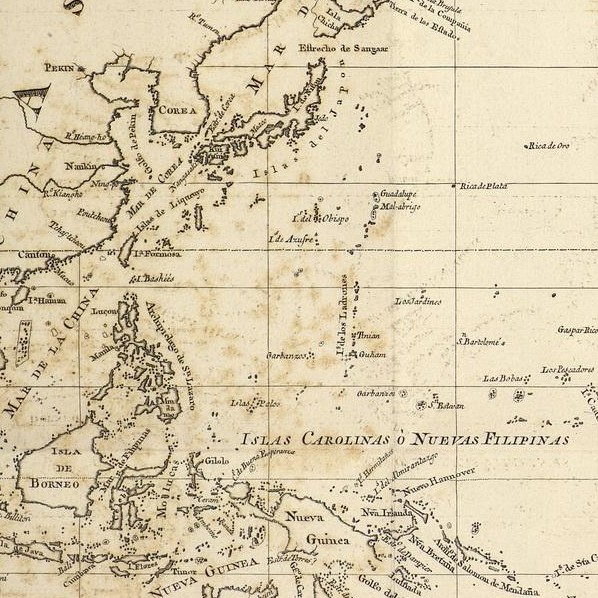
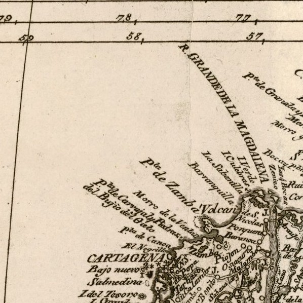
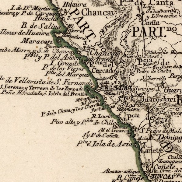
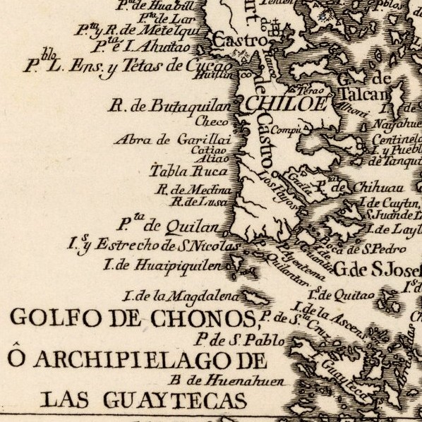
To support the depicted travels, the panel on the left of the map, on big screens, or above it on small screens, provides quotes about the passage of the expedition through the signalled cities. In some cases, photos from the map elaborated by Juan de la Cruz Cano y Olmedilla in 1775 will be shown too, as a visual aid.